
Pasadena ZIP Codes By Area
The six core Pasadena ZIP codes identified in the City of Pasadena public-health geography are 91101, 91103, 91104, 91105, 91106, and 91107. The table keeps the postal clues separate from nearby cities. It also records when the research names a station or facility and when a station detail still needs live confirmation through the USPS city and state ZIP lookup. The surrounding area matters because an address can carry a familiar Pasadena mailing label while sitting outside the incorporated city.
| ZIP Code | Areas Covered | Post Office | Notes |
|---|---|---|---|
| 91101 | Central Pasadena and downtown | Plaza Pasadena, 281 E Colorado Blvd | Core city ZIP |
| 91103 | Northwest and west Pasadena | Pasadena main facility, 600 Lincoln | Main facility is identified with facility ZIP 91109 |
| 91104 | North-central and northeast Pasadena | Station not verified in the research | Core city ZIP; Bungalow Heaven and Orange Heights vicinity |
| 91105 | Southwest and west-central Pasadena | Orangewood, 99 W California Blvd | Core city ZIP |
| 91106 | South and east-central Pasadena | Station not verified in the research | Madison Heights, Oak Knoll, and PCC vicinity |
| 91107 | East Pasadena | Station not verified in the research | Hastings Ranch and Sierra Madre Villa vicinity |
| 91001 | Nearby Altadena | Altadena postal area | Not one of the six core Pasadena ZIP codes |
| 91108 | Nearby San Marino | San Marino postal area | Distinct city and mailing area |
| 91030 | South Pasadena | South Pasadena postal area | Distinct incorporated city, not core Pasadena |
Area names are useful orientation terms, not a substitute for a parcel check. Postal service, a city boundary, and a neighborhood label can each describe a different geography. The postal index therefore treats 91001, 91108, and 91030 as nearby comparison areas rather than adding them to the core-city count.
Pasadena ZIP City-State Checks
A city and state lookup is the clean first check when a ZIP came from an old letter, a family note, or a partially typed address. The USPS result is a postal match. It does not decide whether an address is inside Pasadena, and it does not turn a ZIP code into a residents directory. Use the full street line when possible, then save the returned city, state, and ZIP wording before moving to a parcel source.
The USPS city and state lookup is the source behind the image below. It is especially useful for checking whether a familiar city label belongs to Pasadena, Altadena, San Marino, or South Pasadena before a name or address search begins.
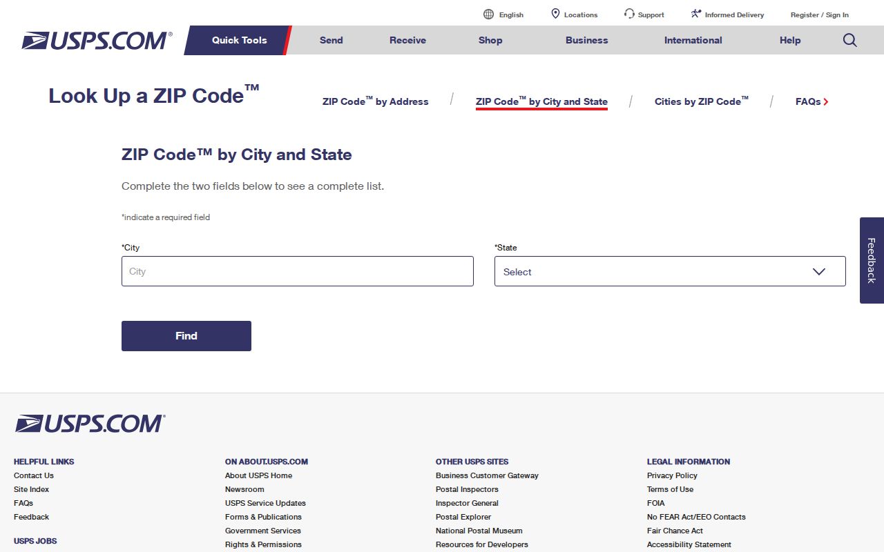
The postal answer supplies a routing clue, not proof of residence or incorporation. Keep the result beside the physical situs address and parcel key rather than collapsing both into one address field.
Pasadena ZIP Postal Bulletin Groupings
The USPS Postal Bulletin places 91114 under 91104, 91115 under 91105, and 91117 under 91107. Those entries are ancillary postal or PO-box groupings in the bulletin. They are not evidence that three new Pasadena neighborhoods or three new core ZIP polygons exist. The USPS bulletin entry is the right source to cite when one of these numbers appears in a document.
That distinction prevents a common search error. A researcher may see 91115 in a payment record and place it beside 91105 as if it were a separate residential area. The safer sequence is to confirm the intended address with USPS, identify whether the number serves a box or another postal function, and then search the parcel under the physical street address. The ZIP index should preserve the bulletin grouping while refusing to label it a neighborhood.
Note: A postal grouping number needs address-level USPS confirmation before it is used as a geographic filter.
The same care applies to facility ZIPs. The Pasadena main facility is listed at 600 Lincoln, while the research notes facility ZIP 91109. A facility address can explain a mailing reference without describing the ZIP assigned to every nearby parcel.
The USPS Postal Bulletin grouping is shown below as a postal reference. Its 91114, 91115, and 91117 entries should be read as ancillary routing information, not as neighborhood names.
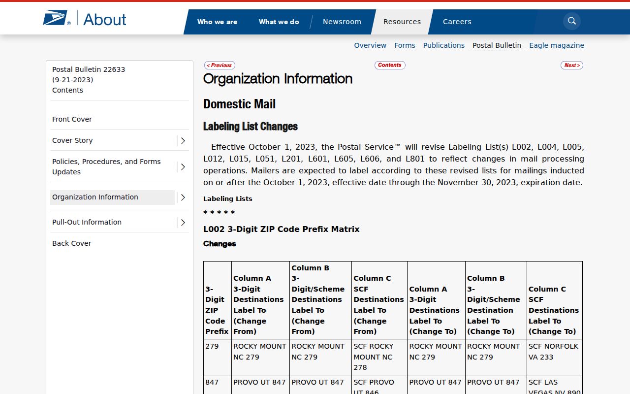
The bulletin image helps preserve the distinction between a ZIP grouping and a residential geography. Verify the intended street address with USPS before using any of those numbers in a parcel search.
Pasadena ZCTAs Approximate ZIP Geography
Census ZIP Code Tabulation Areas, or ZCTAs, are statistical approximations built from Census geography. A ZCTA can support population or demographic comparison, but it is not the USPS delivery route for a particular letter. It can also overlap or diverge from an incorporated city, so a ZCTA label should not be used to claim that every parcel or resident belongs to Pasadena.
The Census ZCTA guidance explains the distinction shown in the image below. Use ZCTAs for a consistent statistical frame. Use USPS for mail validation, Pasadena's address tools for incorporation, and the county assessor for parcel-level research.
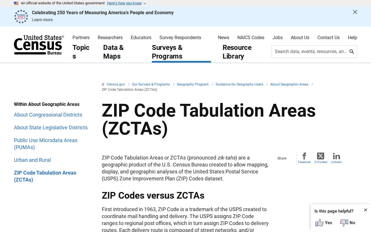
The result is a layered postal reference: USPS data answers where mail routes, Census data answers how a statistical area is built, and a parcel source answers which land record is being examined.
Find Pasadena Residents by ZIP Code
A ZIP-wide resident search has no single public Pasadena roster. The assessor can identify parcels and characteristics, but owner names and owner mailing addresses are suppressed on the public web. My Voter Status authenticates one voter's own record. A restricted voter-file request has its own form, permitted-purpose statement, identity and security requirements. A ZIP code is therefore a first filter for lawful research, not a promise of a complete household list.
- Confirm the postal city and ZIP with the USPS city and state lookup, especially when the address is near Altadena, San Marino, or South Pasadena.
- Check the Pasadena address validator so a city parcel is not confused with a nearby mailing area.
- Search the Los Angeles County Assessor by full address, AIN, or map location. Record the situs, legal shorthand, and parcel facts, not an assumed occupant.
- Use California My Voter Status only for the person who is authenticating. A public visitor cannot type a ZIP and enumerate Pasadena voters.
- Once a ZIP narrows the work to a street, use the Pasadena street directory by address for the parcel and street-level chain.
For family history or civic research, preserve the search date and the exact address form. A change in postal routing can be real even when the parcel, legal description, and city line remain the same.
Pasadena ZIP Assessor Keys
The Los Angeles County Assessor Portal is the parcel bridge in a postal workflow. Its public controls accept an Assessor Identification Number or address, with separate modes for a basic search, a legal-description search, and a map search. The controls below reflect the inspected portal rather than an invented ZIP-wide people filter.
| Search Control | Type | Required | What It Does |
|---|---|---|---|
| Search by AIN or Address | Autocomplete or text | Yes | Finds a parcel by its Assessor Identification Number or street address |
| Basic Search | Mode or button | No | Runs the default parcel search |
| Legal Search | Mode or button | No | Searches by legal-description details; dynamic subfields require live review |
| Map Search | Mode or button | No | Browses and selects parcel geography |
Sample parcel results can show situs address, AIN, tract and lot shorthand, use code, land and building characteristics, and map or aerial access. California Government Code section 7928.205 prevents the assessor from posting the owner-name and assessed-value pairing on the Internet. Owner information is obtained through an Assessor office or Property Data Sales, not by treating a public parcel page as a household roll.
Validate Pasadena ZIP Address Limits
Pasadena's city-limit address validator is a useful second key because it accepts only parcels in Pasadena and explicitly excludes Altadena and Sierra Madre. Its fields are simple, but the distinction matters when a ZIP result looks local while the incorporated city is different.
| Validator Field | Type | Required | Entry Rule |
|---|---|---|---|
| Street Number | Numeric text | Yes | Enter the street number |
| Street Name | Autocomplete | Yes | Omit direction and suffix, then choose the listed street |
| Search | Button | No | Checks whether the parcel is within Pasadena's city service area |
Use the Pasadena address validator before reading a ZIP as a city claim. The result pairs well with the Los Angeles County Assessor map, where a parcel can be located when an address fails because of a unit, corner, new split, or older street form.
Note: A failed address entry is a prompt to try the map or a nearby cross street, not proof that the parcel does not exist.
ZIP Boundaries Versus Pasadena
ZIP boundaries and Pasadena city limits answer different questions. USPS assigns a delivery route. The city validator checks incorporation and city service geography. The county assessor records a parcel. A Census ZCTA creates a statistical approximation. Altadena 91001, San Marino 91108, and South Pasadena 91030 belong in the comparison layer, not in a casual list of Pasadena's six core ZIP codes.
Boundary check. Confirm the postal ZIP with USPS and the city location with Pasadena's validator or parcel map before connecting a name, parcel, or record to Pasadena. A mailing label alone does not establish city limits or occupancy.
Pasadena's street grid adds another local check. Fair Oaks Avenue and Colorado Boulevard form the zero axes. Streets crossing Fair Oaks use east or west, and streets crossing Colorado use north or south. The municipal numbering rule allocates 12.5 frontage feet per number, with odd and even sides assigned by direction. A missing direction can send an address search to the wrong side of the city.
Pasadena USPS Locations and ZIP Clues
The USPS locations search helps verify which postal facility or service point is associated with a mailing task. It should be used for the postal side of the question, while the assessor map and Pasadena validator handle the land and city side. The image below is a source-linked view of that location search.
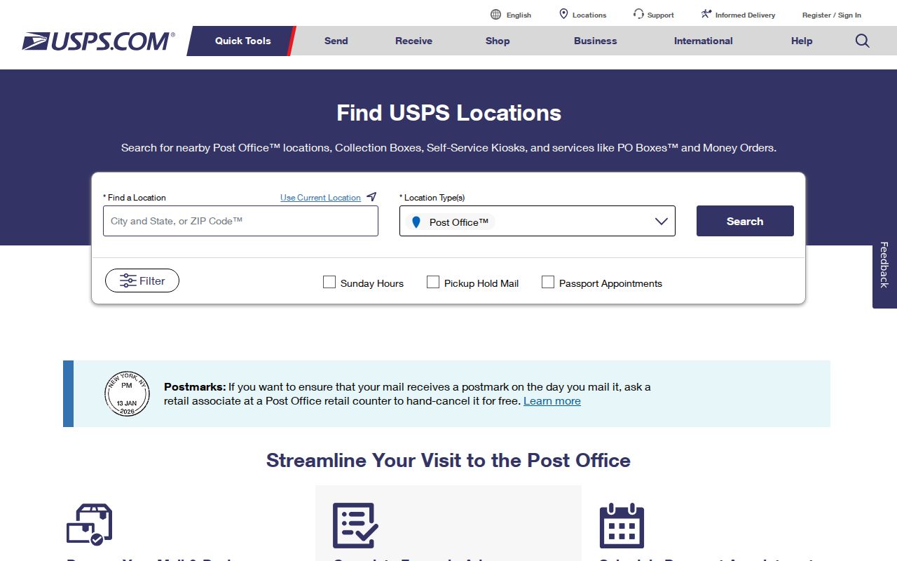
Station information can change, and the research leaves several core-ZIP station fields unverified. That is why a live USPS location check belongs in the final step instead of a copied station list being treated as permanent boundary evidence.
Pasadena ZIP Code Glossary
These terms keep postal, statistical, and parcel records from being mixed together during a resident or family-history search.
- ZIP code
- A USPS delivery-area code used to route mail; it is not a city boundary and not a public household roll.
- ZIP+4
- The extra four digits refine delivery within a ZIP code, often to a route, block, building, or firm.
- PO-box ZIP
- A postal number used for boxes or a special facility function rather than a normal set of street parcels.
- Unique ZIP
- A ZIP assigned to one organization, building, or other limited destination rather than a broad residential area.
- Carrier route
- The operational path used to deliver mail inside a larger ZIP code area.
- ZCTA
- A Census statistical approximation of ZIP geography, useful for comparison but not an exact USPS route.
Note: An AIN identifies a county assessor parcel, while a situs address identifies its physical place and a mailing address identifies where notices are sent.
Pair Pasadena ZIP, Situs, and AIN
A strong Pasadena ZIP result names the key it is using. ZIP answers how mail is routed. Situs answers where the parcel is physically enrolled. Mailing address answers where the taxing authority sends notices. AIN answers which assessor parcel is being examined. A legal description answers which land is conveyed. Those fields can disagree without an error, especially at a corner, in a condominium, or after a parcel split.
Keep the keys in a short research note: USPS result, city-validator result, AIN, situs, legal shorthand, and search date. That record makes a later deed or directory match easier to test. It also prevents a ZIP code from carrying more meaning than the source supports. For a street-by-street question, move from this postal layer to the address-focused Street Directory; for a historical question, use a dated directory or census rather than a current ZIP assumption.
Older Pasadena records may use community labels such as Lamanda Park, Oak Knoll, Brigden Ranch, Northwest Pasadena, or Arroyo Seco. Treat those names as dated search vocabulary, then verify the matching street, parcel, and postal route instead of mapping a historic label straight onto a current ZIP.